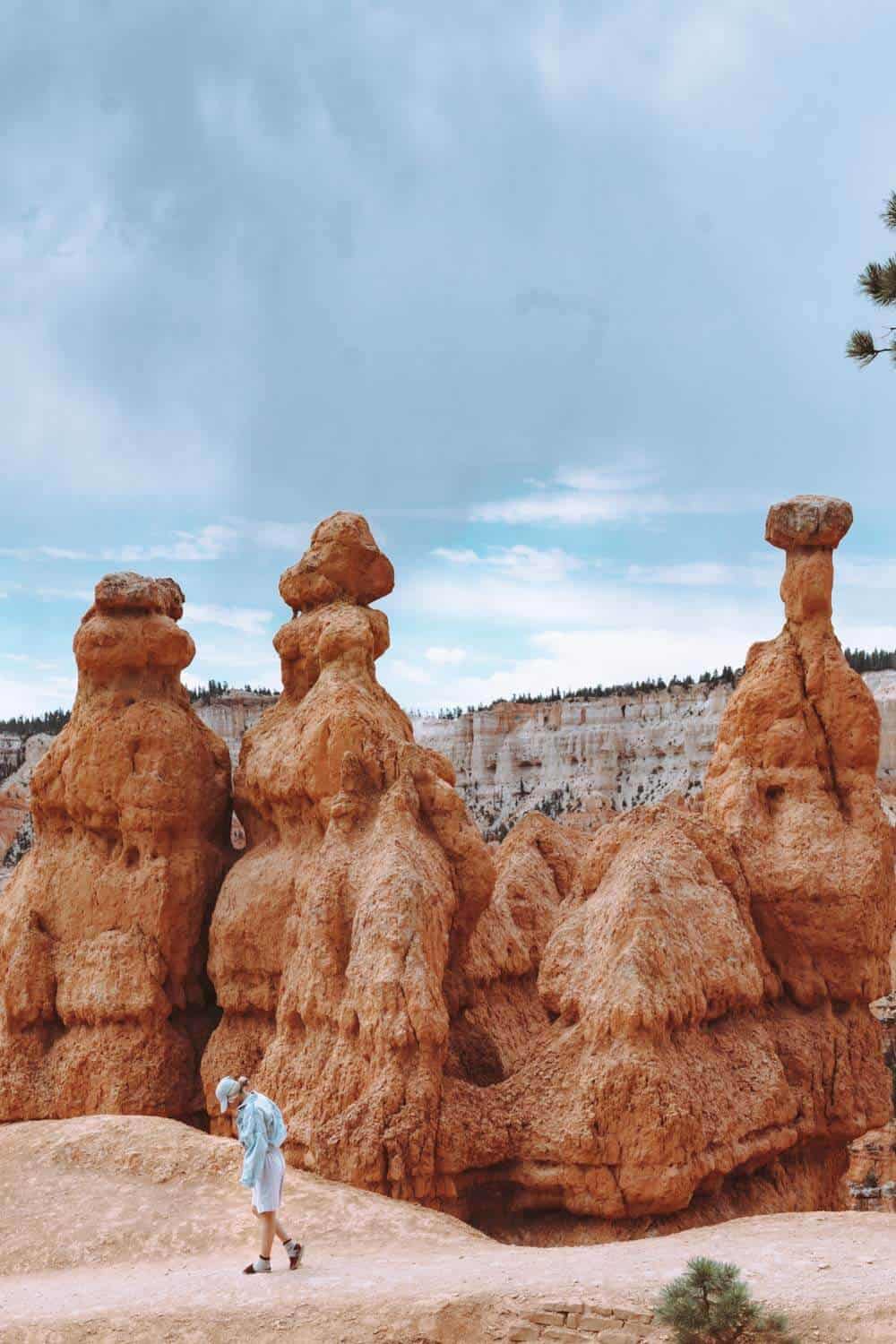
Queens Garden Trail is the second most popular trail in Bryce Canyon (Navajo Loop takes the top spot — read about that one here). And it’s easy to see why: it’s short, easy to get to, and it packs a ridiculous amount of scenery into 1.8 miles.
The trail starts near the entrance at Sunrise Point and drops you straight down into the Bryce Amphitheater. It’s basically all downhill, then all uphill on the way back — but it’s nowhere near as bad as that sounds.
Queens Garden Trail Quick Facts
- Difficulty: Moderate
- Length: 1.8 miles roundtrip (0.9 miles to Queens Garden/Queen Victoria, 1.6 miles if continuing to the Navajo Trail, 1.9 miles to the Peekaboo Trail)
- Elevation change: 450 feet
- Trailhead: Sunrise Point (also accessible from Sunset Point)
- Best time to go: April–October
- Parking: Sunrise Point viewpoint lot, or the Sunset Point lot a little farther south
Which Way to Hike Queens Garden Trail (Sunrise Point vs. Sunset Point) — with GPS note added
Sunrise Point is the trailhead for Queens Garden Trail. Sunset Point, about a half-mile away along the Rim Trail, is the trailhead for Navajo Loop. Most people don’t hike Queens Garden as a standalone — they combine it with Navajo Loop into one loop through the amphitheater, since the two trails connect at the bottom.
Heads up if you’re navigating by GPS: Google Maps lists this spot as “Rim Trail Sunrise Point Trailhead” — that’s the same place, just approach it from the Queens Garden side instead of the Rim Trail.
Start at Sunrise Point and go clockwise: down Queens Garden, then back up Navajo Loop to Sunset Point. A few reasons this direction works best:
- The views face you the whole way down instead of behind you.
- It’s safer. Most injuries happen going down steep terrain, and Navajo Loop’s switchbacks are steeper than Queens Garden’s — better to climb those than descend them.
- Less congestion, since most hikers move the same direction.
One more thing to plan around: near the top of Navajo Loop, you’ll choose between Wall Street (the famous narrow slot canyon switchbacks) and Two Bridges. Wall Street closes seasonally when ice makes it dangerous, so if you’re visiting in winter, check ahead — Two Bridges stays open year-round.
What the Trail Is Actually Like
Underfoot, it’s packed dirt and native sediment — nothing technical, just steep switchbacks on the way down. The trail narrows in spots (as little as 33 inches wide), so single-file is the norm when you pass other hikers.
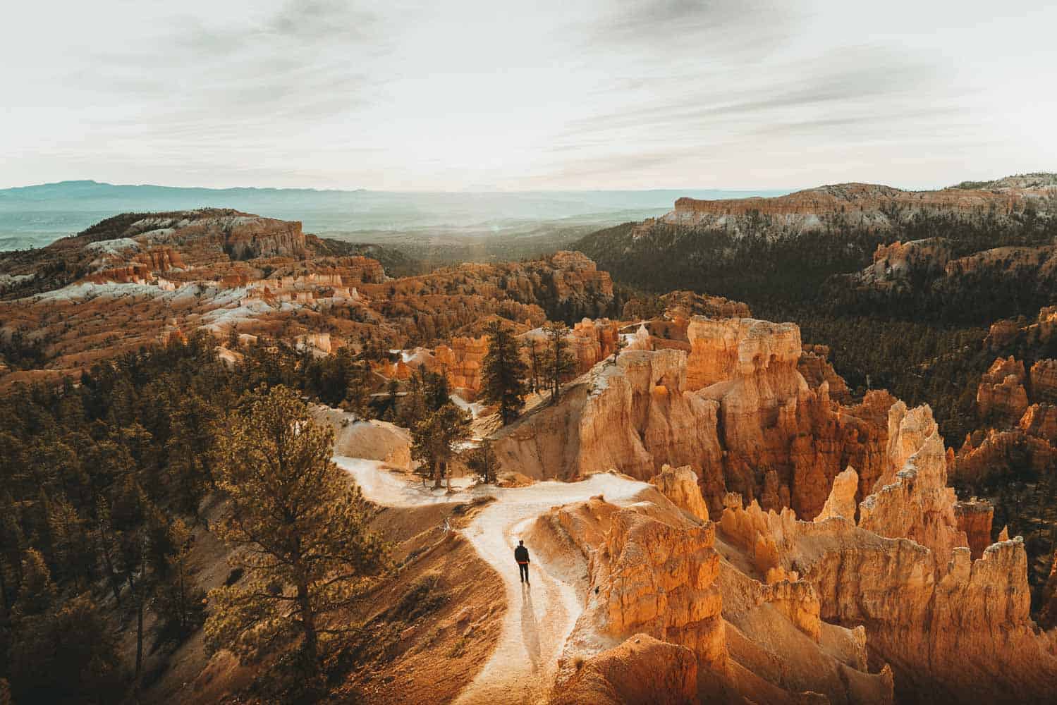
Once you’re past the switchbacks, it opens up into an easy, mostly flat stretch through the canyon floor, shaded by pine trees — a nice break before you’re back to climbing.
Along the way, you’ll duck through three natural tunnels carved right through the hoodoo fins (short enough that most people have to crouch a little to get through). Keep an eye out for the ET Hoodoo too — a big white formation that genuinely looks like it’s straight out of the movie.
Best Time of Day to Hike It
I hiked this in the late afternoon at the end of August, and it was perfect — barely anyone else on the trail, a totally different vibe than the sunrise crowds. It was still hot, but cooling off fast by then, and about an hour before sunset the light turns soft and golden — hands down the best time for photos.
If your schedule allows it, skip sunrise and go later in the day instead.